For decades, keeping power lines clear from overgrown branches was a brute-force job. Utility companies relied almost entirely on manual inspections. Crews drove down endless rural roads or hiked through dense forests, scanning the canopy with binoculars. When they found a problem, trimmers jumped into bucket trucks or climbed tall trunks with chainsaws. While effective, this traditional approach was slow, expensive, and often dangerous.
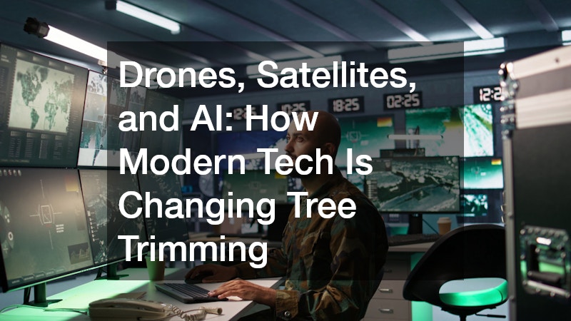
Today, energy companies face new pressures. Extreme weather events are becoming more frequent, and power grids stretch across millions of miles. Manual inspections alone cannot keep up with the rapid growth of trees and brush. That is where modern utility vegetation management comes in. By combining space-based satellites, agile drones, and artificial intelligence, power companies are transforming tree trimming into a high-tech science that protects grid reliability and keeps the lights on.
The Challenge of Keeping Power Lines Clear
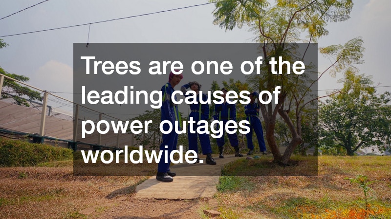
Trees are one of the leading causes of power outages worldwide. When heavy branches touch high-voltage wires, they can trigger short circuits, blackout entire neighborhoods, and even ignite destructive wildfires. Managing this growth is a massive financial and logistical commitment. Energy providers spend billions of dollars each year trimming trees around overhead lines.
In the past, utilities worked on fixed schedules. Crews would trim a specific neighborhood every three to five years, regardless of how fast the local trees were actually growing. This model meant some fast-growing species were left unchecked for too long, while slow-growing trees received unnecessary cuts. Modern utility vegetation management fixes this inefficiency by moving from fixed schedules to data-driven maintenance.
High-Tech Eyes in the Sky: How Satellites Track Plant Growth
Satellites orbiting hundreds of miles above Earth are now the first line of defense for utility companies. Modern commercial satellites take high-resolution images of the planet every day. Advanced sensors capture light spectrums that human eyes cannot see, allowing scientists to measure plant health and moisture levels.
Through satellite imagery, power companies can map tens of thousands of miles of transmission lines in a single afternoon. Satellite data shows where vegetation is creeping too close to electrical corridors. It can also identify dead or dying trees far away from the line that might fall during a heavy storm. Instead of sending humans to inspect every mile of remote territory, companies use satellite data to scan vast geography in minutes.
Drones: Getting Up Close to Hazardous Trees
While satellites offer a high-level view of an entire region, unmanned aerial vehicles, commonly known as drones, provide incredible detail at close range. When a satellite flags a potential problem area, utility companies can launch a drone to perform a targeted inspection.
Drones fly along power lines and record video, thermal photos, and LiDAR data. LiDAR uses laser pulses to build precise three-dimensional maps of the environment. This measurement system shows the exact distance in inches between a specific tree branch and a live wire.
Drones can also reach steep hillsides, deep canyons, and swampy areas that are dangerous or impossible for ground crews to access. Furthermore, specialized drones can now apply targeted treatments to invasive plants, reducing the need for heavy machinery in delicate natural environments.
Artificial Intelligence: Predicting Threats Before They Happen
Having millions of satellite images and drone scans is helpful, but analyzing that mountain of data manually would take thousands of hours. This is where artificial intelligence and machine learning change the game.
AI algorithms analyze aerial imagery instantly. Computer vision software can identify specific tree species, calculate their growth rates based on soil and weather data, and spot early signs of disease or drought stress.
With AI, utility teams move from reactive trimming to predictive forecasting. The software can alert managers that an oak tree in a specific corridor is growing six inches faster than normal and will hit a line in eight months. This predictive power allows crews to prioritize high-risk areas before an outage or fire occurs.
Safer, Smarter, and More Cost-Effective Operations
Integrating drones, satellites, and AI into utility vegetation management creates safer working conditions for field crews. Arborists and line workers spend less time searching for hazards and less time climbing unstable, hazardous trees. They arrive at job sites with precise maps, knowing exactly which branches need attention and what equipment is required.
These technologies also save power companies millions of dollars in operational costs. By eliminating unnecessary trims and focusing resources where trees pose an active threat, utilities keep electricity prices more stable for consumers while significantly lowering the risk of storm-related power failures.
Upgrade Your Utility Vegetation Management Strategy Today
Modernizing your tree trimming program does not have to be complicated. Adopting advanced digital tools helps protect power reliability, improve worker safety, and reduce environmental impact across your entire service territory. Contact our team of vegetation management experts today to schedule a custom demonstration and discover how drone imagery, satellite tracking, and AI analytics can streamline your grid maintenance operations.